
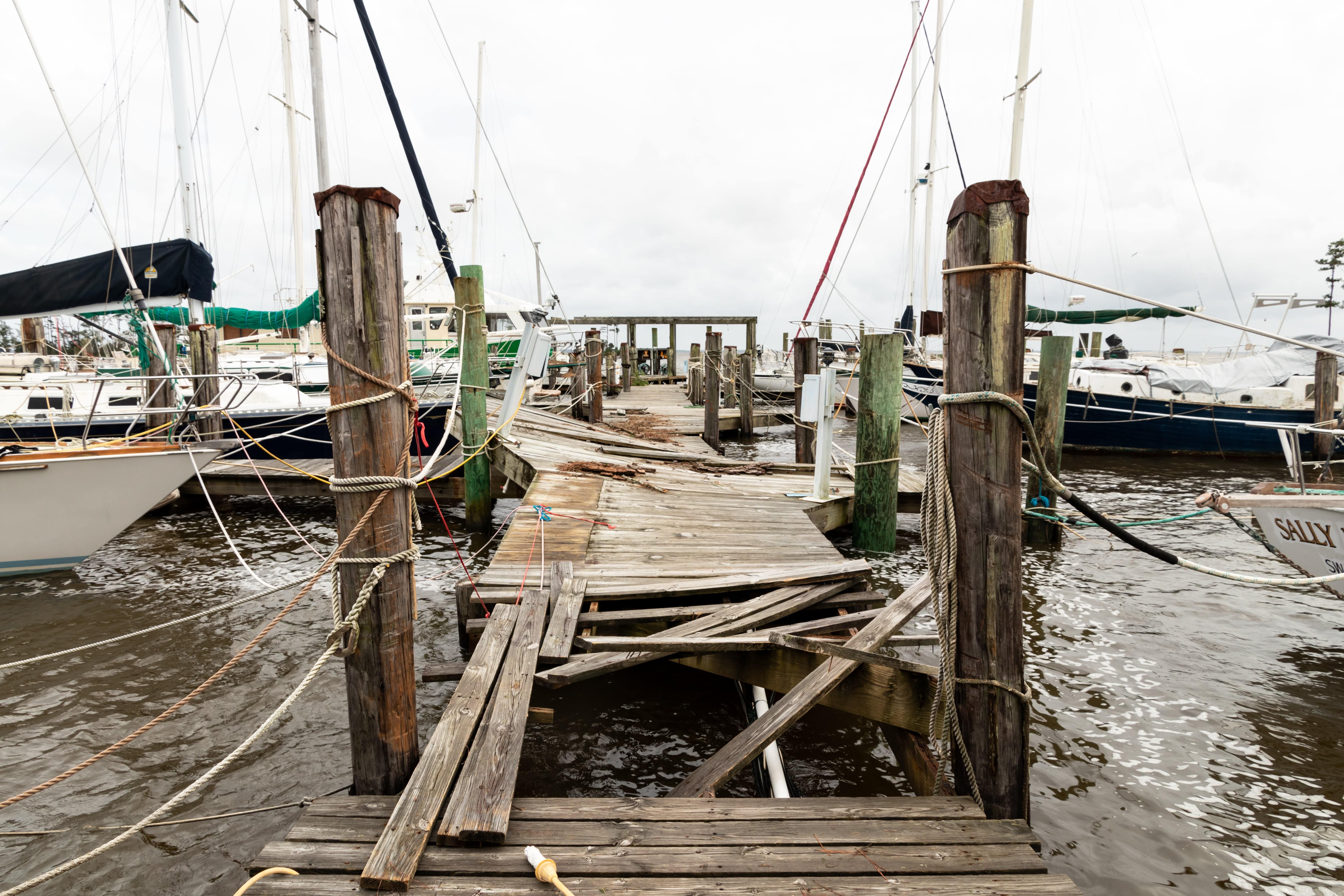
Coastal storms can bring flooding, storm surge, and the potential for severe damage. In addition to people living and working in vulnerable areas, critical systems can be impacted, such as stormwater infrastructure, emergency facilities, and roadways.
These Digital Coast resources help officials understand potential impacts and take the steps needed to lessen damages and increase community resilience.
Get Started
-
Training – Video
Understanding Dangers of Storm Surge
Watch this video to better understand storm surge and its impacts, and why evacuations are needed. Also available in Spanish.
-
Tool
Historical Hurricane Tracks
Use this interactive mapping tool to view, analyze, and share historical hurricane tracking information.
-
Tool
Coastal County Snapshots – Flood Exposure
Assess a county’s exposure and resilience to flooding with easy-to-understand charts and graphs that describe complex coastal flooding data.
-
Training – Blog Post
Blog: Storm Surge in Winter?
Learn about storm surge associated with winter storms, often called nor’easters, that bring with them hurricane-strength winds, coastal flooding, and beach erosion.
Create Storm Surge Maps
-
Training – Publication
Coastal Inundation Primer
Learn about the data and methods needed for mapping coastal inundation in a geographic information system (GIS).
-
Training – In-person Course
Coastal Inundation Mapping
Learn baseline information about the various types of flooding and methods for mapping current flooding and potential coastal inundation scenarios using a GIS.
-
Data
Coastal Lidar
Access and download coastal lidar elevation data for a variety of dates, specifications, and formats to serve as a base for inundation mapping.
-
Data
Land Cover Data
Access and download land cover and land cover change data, available for several dates, to help determine vulnerable areas of a community, such as developed areas exposed to storm surge.
Assess Potential Impacts
-
Tool
Coastal Flood Exposure Mapper
Assess a community’s coastal hazard risks and vulnerabilities and create a collection of maps that show the people, places, and natural resources exposed to coastal flooding.
-
Tool
Storm Surge Inundation Map
Explore storm surge zones from the National Hurricane Center’s Storm Surge Unit and determine vulnerable areas in a community.
-
Training – Online Guide
Adapting Stormwater Management for Coastal Floods
Learn how the flooding of today and tomorrow can affect stormwater systems, and generate reports that display local information about flooding impacts to inform planning efforts.
-
Tool
Coastal Change Hazards Portal
View coastal shoreline change data for hurricanes and nor’easters, in addition to shoreline change rates and potential sea level rise impacts.
-
Training – Video
Using Storm Surge Flood Maps
Learn about the National Hurricane Center’s Storm Surge Potential Flooding Map and how to ensure a consistent message to help save lives during the next storm.
-
Training – Quick Reference
Remembering Sandy Inundation
Visualize inundation levels from Hurricane Sandy in an easy-to-understand graphic and think about how inundation could affect other locations.
Communicate Risks
-
Training – Virtual Course
Seven Best Practices for Risk Communication
Participate in an instructor-led webinar to better understand risk and how to help communities prepare for and respond to weather and climate hazards.
-
Training – Publications
Risk Communication Basics
Learn how to understand and connect with stakeholders and inspire risk-wise behavior through improved communication.