Overview
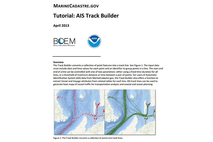
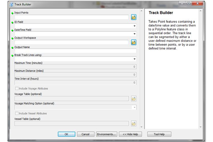
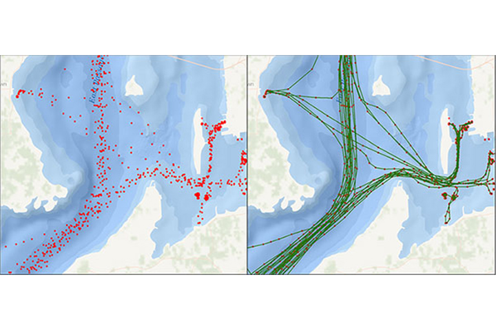
These downloadable desktop tools convert a collection of point features into a track line. The latest version, Track Builder Pro 1.0, also allows users to create a transit grid. Input data must include date-time values for each point and a unique identifier to group points in a line. AIS track lines can then be used to generate maps of vessel traffic for transportation analysis and coastal and ocean planning.
Requires ArcGIS 10.1 or later
Features
- Convert a collection of point features into a track line
- Open an extensible Python source code


