Overview
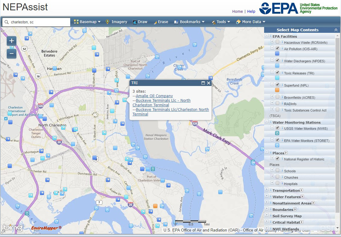
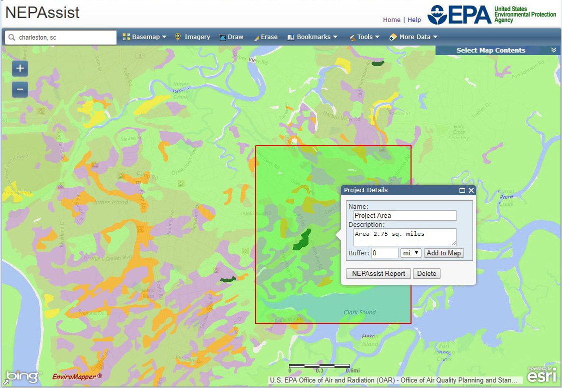
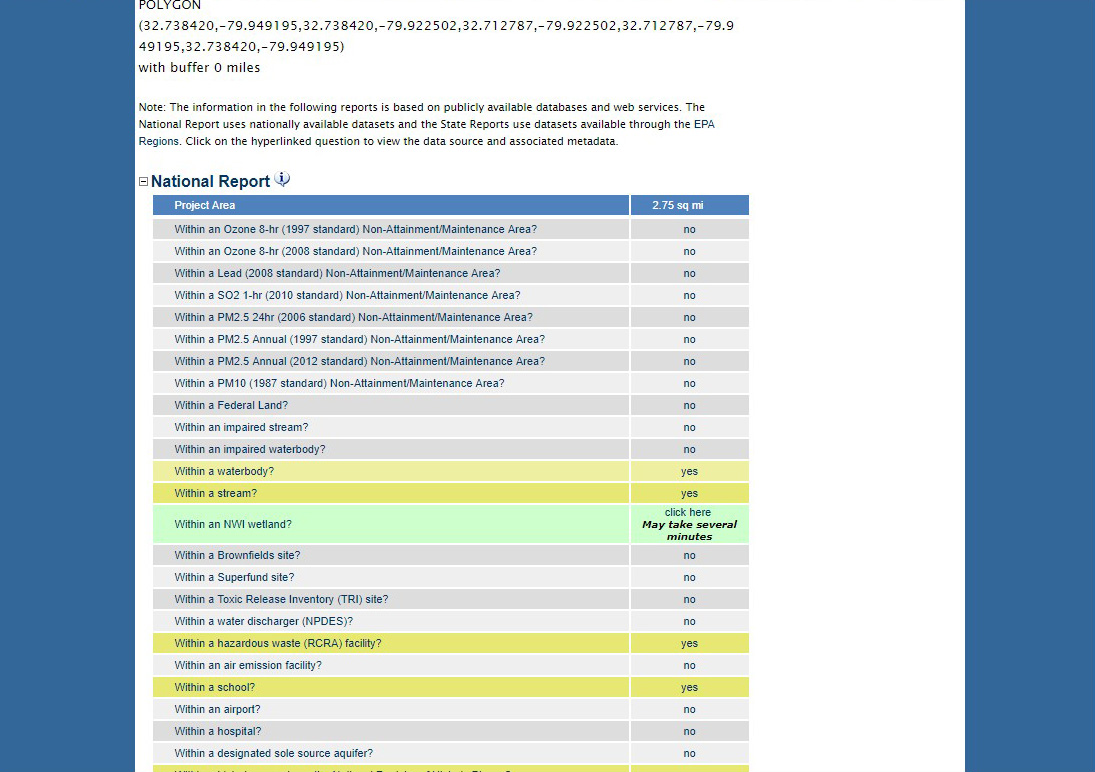
This interactive web-based application draws environmental data from publicly available federal, state, and local GIS sources and web services and provides immediate screening of environmental assessment indicators for a user-defined area of interest. This information includes data on regulated facilities, demographics, historic places, threatened and endangered species, wetlands, and other topics. These features contribute to a streamlined review process that potentially raises important environmental issues at the earliest stages of project development.
Features
- Ingests data from user-defined web services
- Creates customizable reports and analyses that can be saved as Excel or PDF files
- Integrates with U.S. Fish and Wildlife Service IPaC tool
Tool Screenshots