Overview
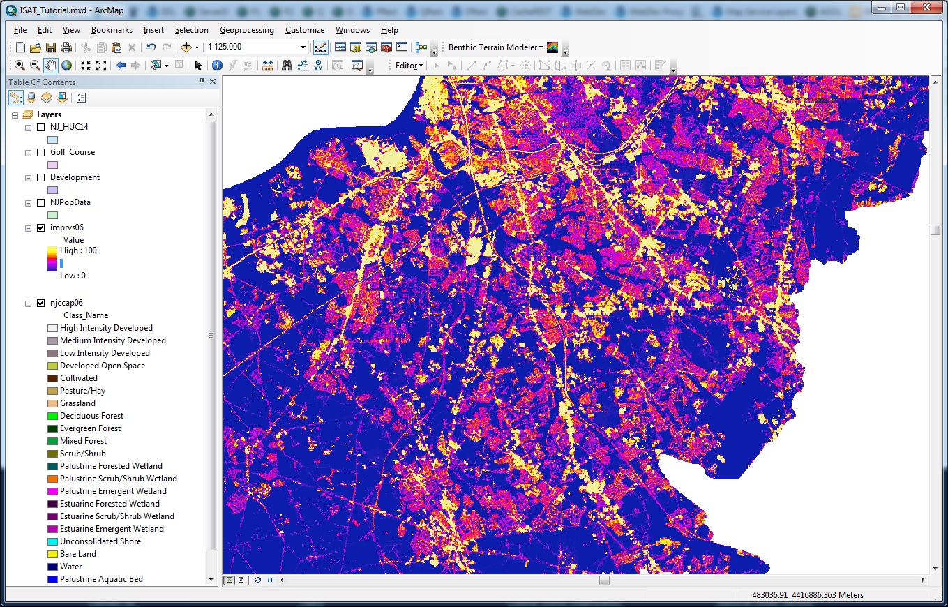
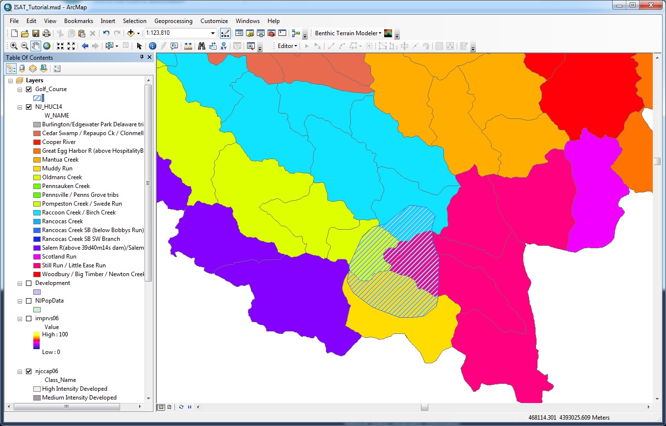
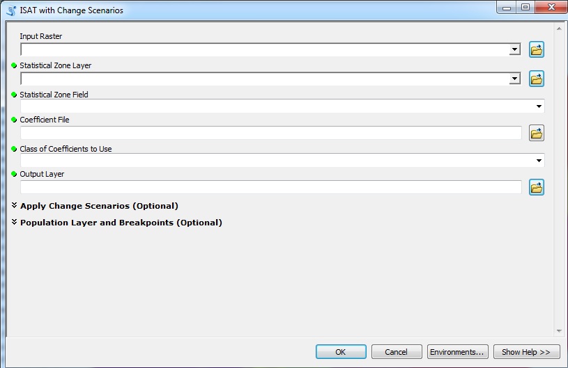
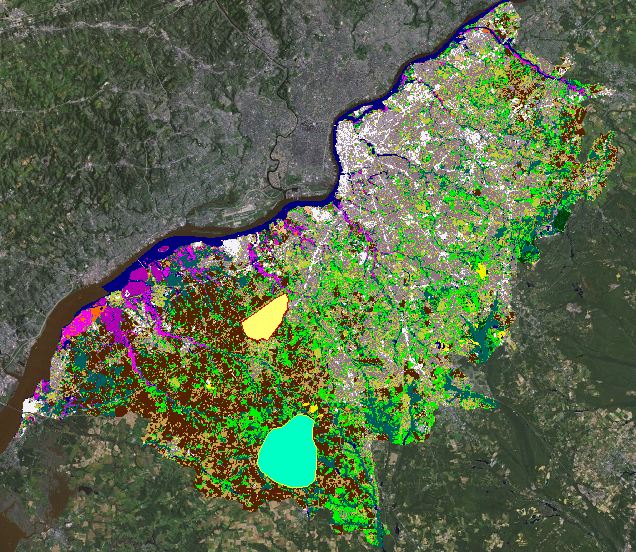
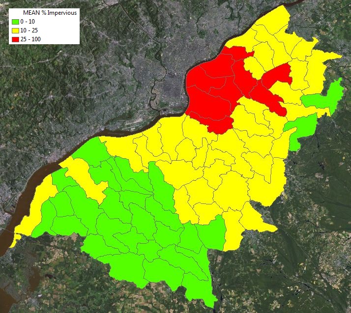
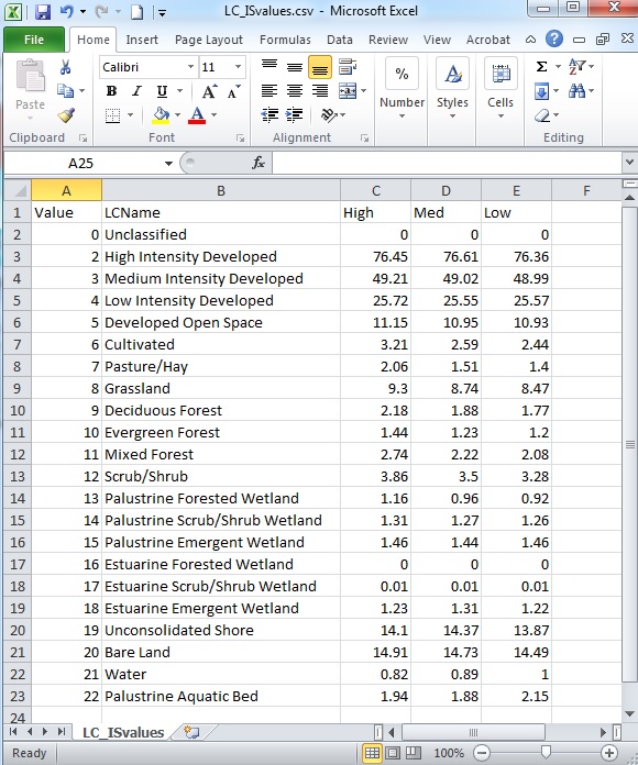
This downloadable suite of easy-to-use scripts for ArcGIS calculates the percentage of impervious surface area within user-selected geographic areas such as watersheds, municipalities, and subdivisions.
Requires ArcGIS 10.x and Spatial Analyst Extension
Features
- Calculate impervious surface area
- Categorize results to represent good, fair, and poor water quality
- Predict how management scenarios might impact local water quality

