Overview
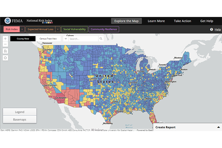
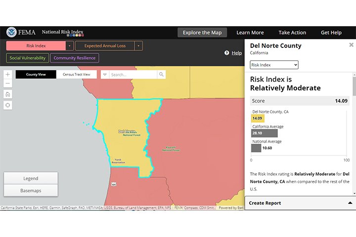
This online tool illustrates communities in the United States most at risk from 18 natural hazards, including coastal flooding, hurricanes, and tsunamis. The interactive, data-based mapping interface enables users to visually explore individual data sets, with minimal technical expertise, to better understand what is driving a community’s natural hazard risk. The risk index leverages available source data for natural hazards and community risk factors to develop a baseline for risk measurement in each U.S. county and Census tract.
The National Risk Index Homepage
Features
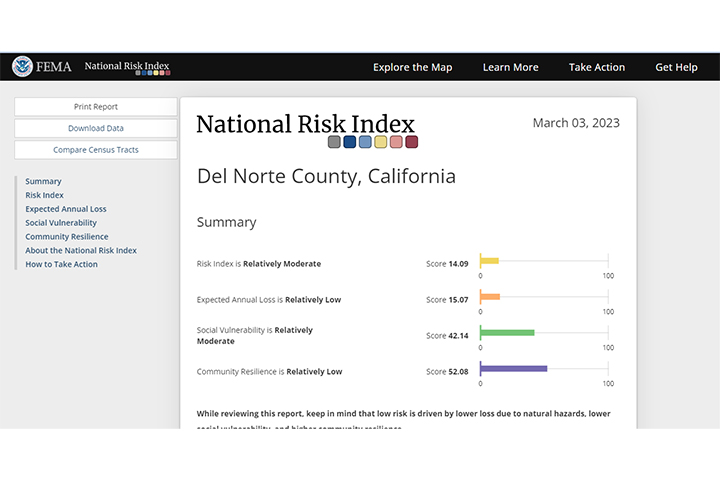
- Get relative risk index ratings based on data for expected annual loss, social vulnerability, and community resilience
- Generate printable reports containing risk index scores and ratings for one or more communities
- Export data for custom analysis


