Overview
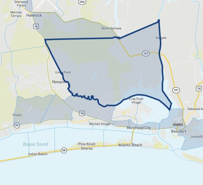
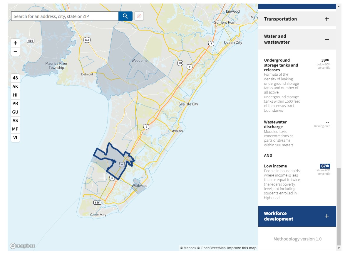
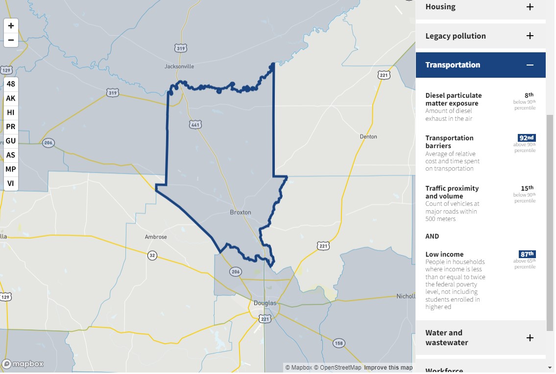
This tool uses an interactive map to identify communities that are overburdened and underserved using eight categories of indicators: climate change, energy, health, housing, legacy pollution, transportation, water and wastewater, and workforce development. A community is considered to be disadvantaged if it is located within a census tract that meets the tool’s methodology or is on land within the boundaries of federally recognized tribes.
Features
- Identify disadvantaged, or partially disadvantaged, communities using thresholds
- Rank burdens using percentiles
- Explore burdens associated with each census tract and compare burdens between census tracts


