Fast Facts / Research Reserves
Research Reserves
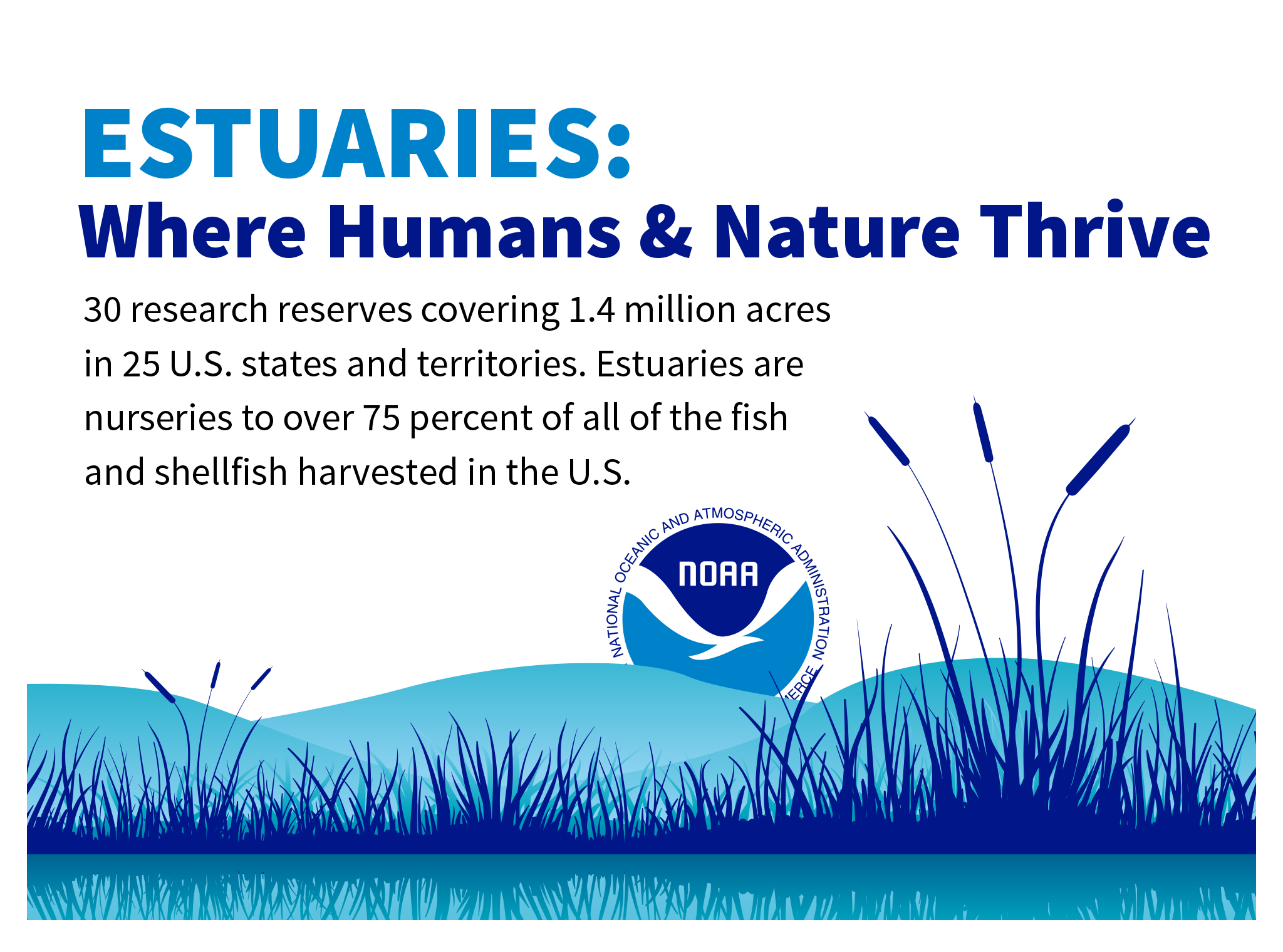
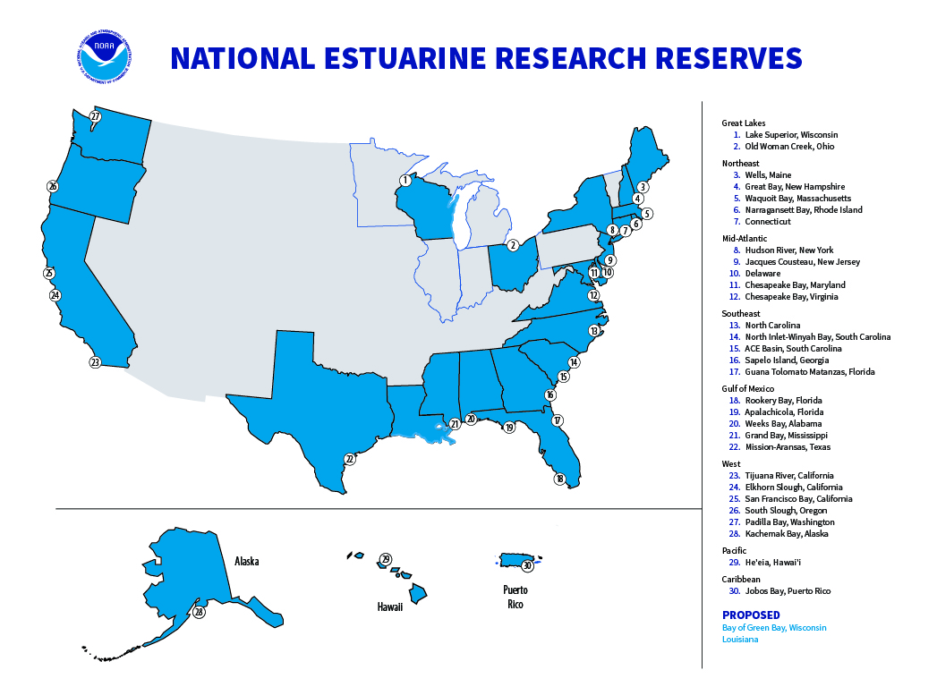
The National Estuarine Research Reserve System is a network of 30 coastal sites designated to protect and study estuarine systems. The reserves represent a partnership program between NOAA and the coastal states, and while each one is unique, they all offer community-oriented programs focused on conservation, science, education, and public involvement.
Nearly 1.4 Million Acres
The nation’s 30 research reserves cover and protect nearly 1.4 million acres of land and water.
48 Million Data Points
Annually, reserve monitoring stations capture more than 48 million data points, helping with water quality, severe weather, and much more.
75% of Fish and Shellfish
Estuaries are nurseries to more than 75 percent of all of the fish and shellfish harvested in the U.S.
The World’s Largest
Of the 32 largest cities in the world, 22 are located on estuaries.
Going, Going Gone
The greatest threat to estuaries is large-scale conversion by draining, dredging, and filling. More than 38 percent of coastal wetlands have been lost due to these activities.
Estuary Tourism
Coastal recreation and tourism generate $8 to $12 billion per year in the United States, and a large proportion of that is located in estuaries.
Research Reserves and Education
There are 35 different educational lessons and activities offered through the reserve system, each bundled with all of the necessary tools and resources for implementation.
Data by the Millions
Around the coastal U.S., 299 reserve monitoring stations track millions of data points (over 47 million annually), with focus areas including the following:
• Water management (floods, droughts, salinity, impoundments)
• Disaster vulnerability (spills, hurricanes)
• Severe weather (coastal inundation, storms, river flooding)
• Effects of sea level rise on ecosystems
• Water quality (modeling, harmful algal blooms, fecals, contaminants, rising temperatures)
• Fisheries and aquaculture (forecasting and modeling)
Estuary Fingerprints
The tidal pattern in an estuary depends on its location, water depth, water flow, coastline, and wind conditions. With the variety of conditions on Earth, each estuary displays a unique tidal pattern. No two estuaries are the same.
Nationwide Monitoring
The National Estuarine Research Reserve System is the only estuary program in the country to feature a consistent, system-wide monitoring program, ensuring data are collected in the same way at each site and therefore can be aggregated easily at the local, regional, and national scale to meet decision-makers’ needs.
Source: NOAA
Websites:
- Ocean Service Education
- Office for Coastal Management National Estuarine Research Reserves
- Centralized Data Management Office
Related Handout: 2020 Disaster Resilience Report